Your Friendly Winter Weather Advisory
Elizabeth Wilson | January 26, 2015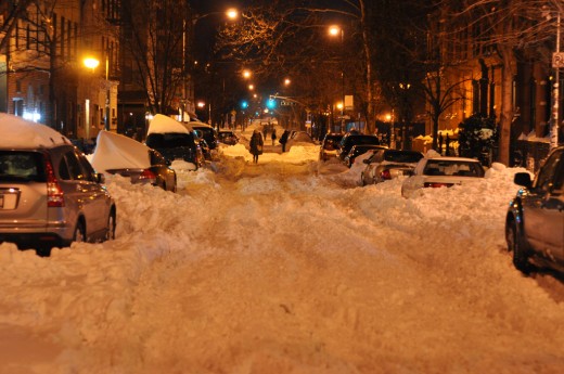
Dear Reader,
Do you have a plan for Juno yet?
If not, Upstater strongly recommends taking inventory of your emergency kit, your pantry, and your car ASAP. Whether the storm winds up making history or not, everything we’re hearing about Juno is indicating to us that we should err on the side of caution.
We have been following Hudson Valley Weather’s facebook page diligently (the website is temporarily out of service) – here are their storm projections for the next 24-36 hours:
“Light snow break out between late morning and early afternoon from south to north.
Snow continues to fall lightly through the afternoon into the early evening.
Snow becomes heavy at time overnight with increasing winds causing blowing and drifting snow with low visibilities
Snow continue to fall very heavy tomorrow morning into the afternoon with blizzard conditions likely (especially across southern and southeastern regions)
Snow tapers of tomorrow evening with total accumulations ranging from 6-12 across the NW parts of the region to 24+ across southeastern parts of the region.”
Here are a few additional resources to start your erring with:
Ready.gov Info on Winter Weather Prep
Weather.com Winter Storm Tracker

Read On, Reader...
-

Jane Anderson | April 1, 2024 | Comment A Westtown Barn Home with Stained-Glass Accents: $799.9K
-

Jane Anderson | March 25, 2024 | Comment A c.1920 Three-Bedroom in Newburgh: $305K
-

-

Jane Anderson | January 30, 2024 | Comment A Renovated Three-Story Beauty in Poughkeepsie: $695K